Geospatial Software
Orbit GT for Indoor Mapping
Use the powerful Orbit 3D Mapping solutions to produce, update indoor content, and share the 3D indoor data faster and more effective than ever before. Orbit's 3D Mapping solution is the most forward-looking on the market and supports all currently developed indoor mapping systems.
PDF File Coming Soon!
Orbit GT for Oblique Mapping
Orbit's™ Oblique portfolio is the most complete on the market. Orbit Oblique supports all camera systems which makes it vendor neutral, a required new and open approach to the use of oblique data.
PDF File Coming Soon!
Orbit GT for UAS Mapping
Orbit's 3D Mapping solution is a serie of impressive software solutions for all professional UAV users engaged in 3D mapping. Based on years of experience in high precision UAS mapping, these products cover the complete UAS workflow.
PDF File Coming Soon!
Orbit FT for Mobile Mapping
Manage and optimize your mobile mapping data after capture using the powerful 3DM Content Manager. Auto produce & update assets faster and richer than ever before based on the 3DM Feature Extraction portfolio.
PDF File Coming Soon!
Metashape
Agisoft Metashape is a cutting edge software solution, with its engine core driving photogrammetry to its ultimate limits, while the whole system is desig-ned to deliver industry specific results relying on machine learning techni-ques for post-processing and analysis tasks.
Z+F LaserControl®
Z+F LaserControl® Office and Scout are the optimal solution to work efficiently and fully with the laser scanners of Zoller + Fröhlich. A range of filters, measurement and registration tools enable a high differentiate processing of scan data and are the key to filter, register and color 3D point clouds. Thanks to the large selection of export formats provided by Z + F LaserControl®, data can be imported and further processed in all common 3D software applications.
PDF File Coming Soon!
OPSIS
The OPSIS analysis software optimizes the exploitation of laser scanner data for monitoring purposes of deformations and provides you with an analysis directly from your 3D data.
PDF File Coming Soon!
LupoScan

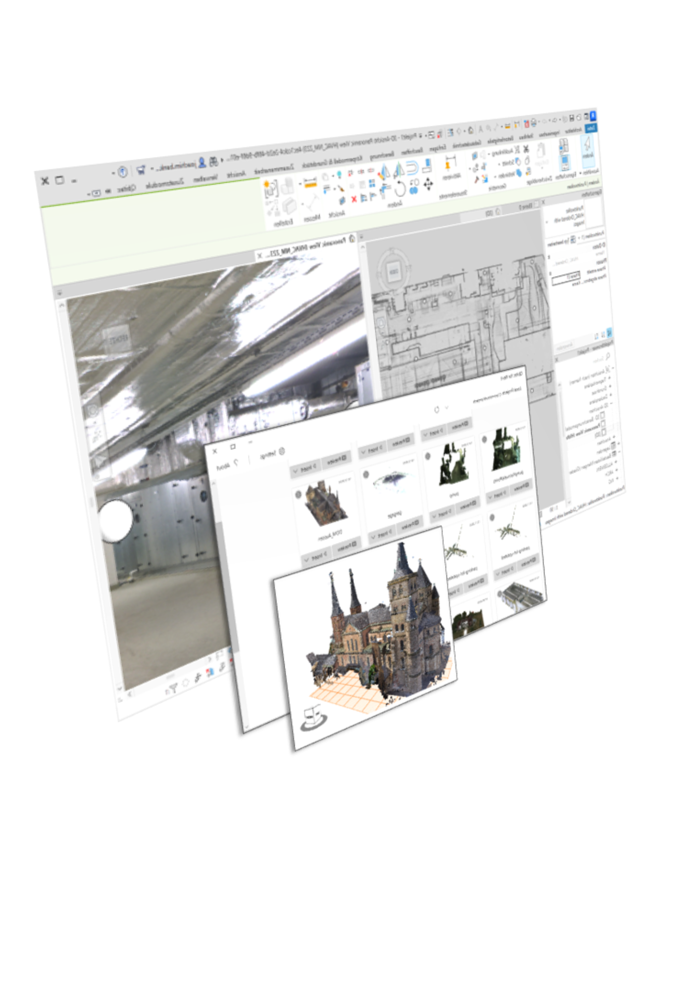
LupoScan is designed to enable an easy and effective extraction of required information from laser scanning data or any 3D point clouds.With LupoScan it is possible to reference 3D laser scans in a superordinated coordinate system. 3D-objects, floor plans, meshes and orthophotos can be created with few complexity directly in the intensity images of the laser scans or in the point clouds. Several import and export formats allow a high compatibility with other software and therefore an easy integration into existing work flows. Furthermore all created objects can be inserted in an open drawing of several established CAD-programs by a direct interface
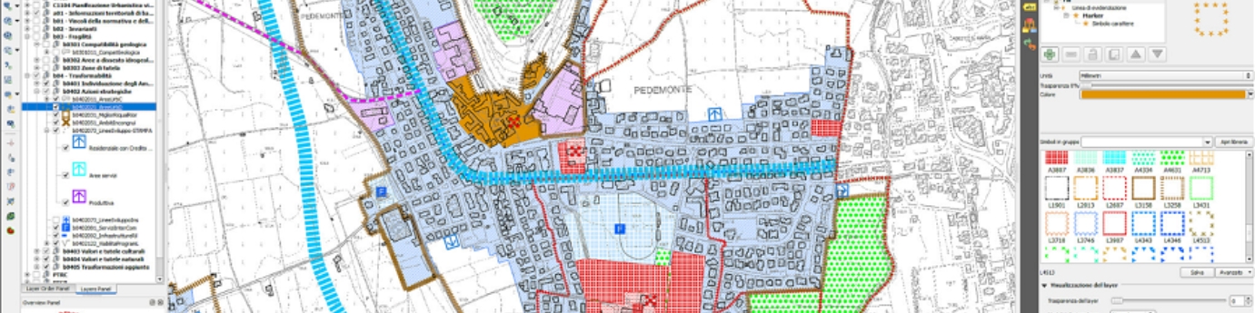