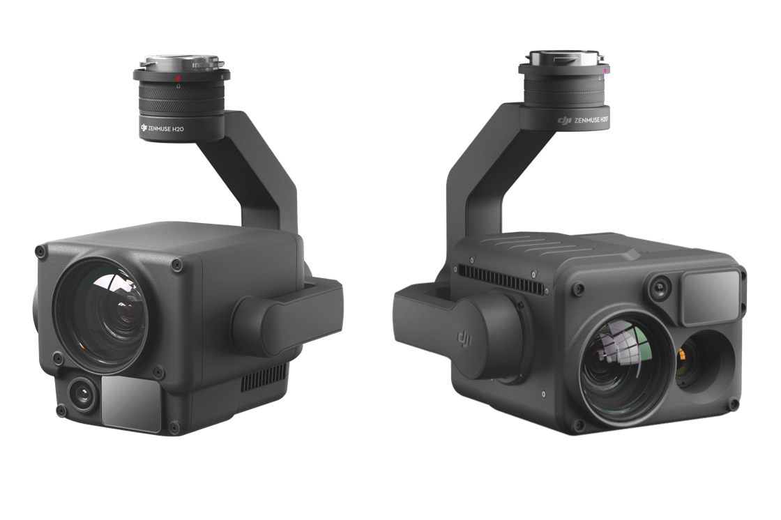
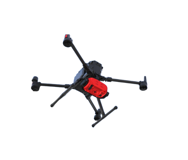
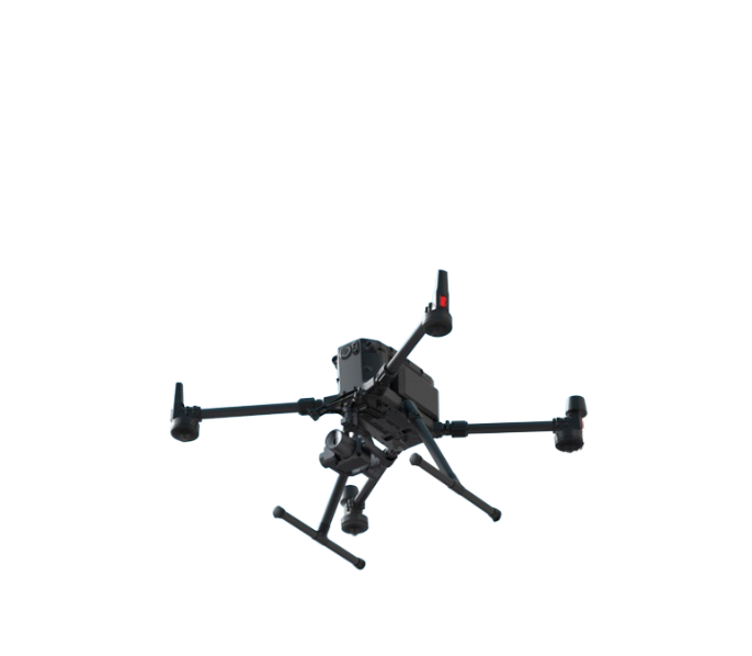
UAV Payload Sensors
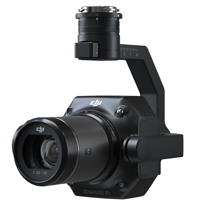
Zenmuse P1 integrates a full-frame sensor with interchangeable fixed-focus lenses on a 3-axis stabilized gimbal. Designed for photogrammetry flight missions, it offers efficiency and accuracy at a whole new level.
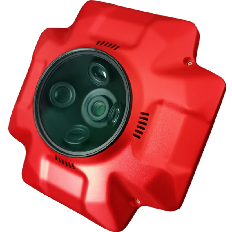
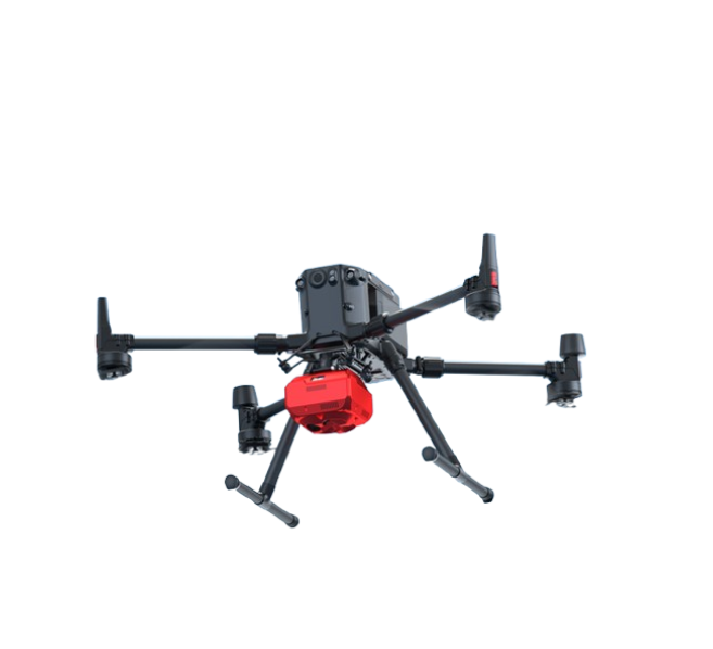
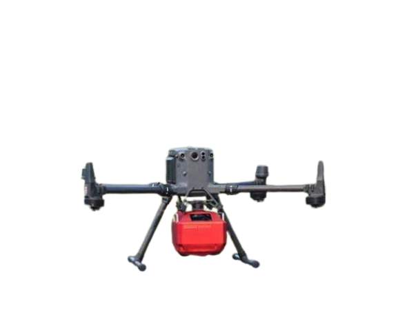
High accuracy oblique camera with no GCPs used
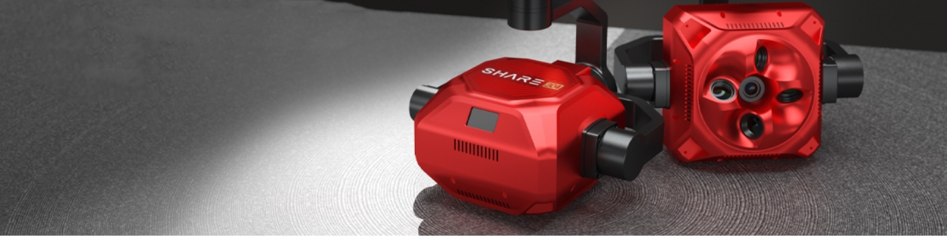
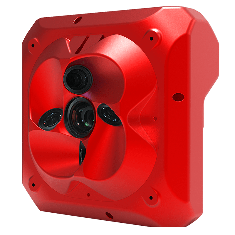
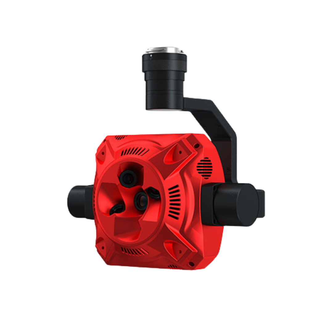
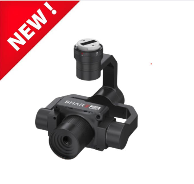
• SHARE 102S
• SHARE 102S Pro
• SHARE PSDK 102S
Key Features:
- Upgraded Design : Lighter, smaller but higher
precision
- Smart Working : Self-checking intelligent cooling
- Perfect Compatibility : Compatible with multiple
drones
- Scientific Integration : Easy operation and efficient
workflow
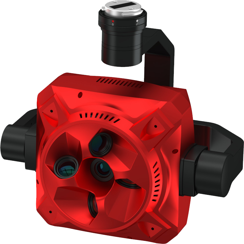
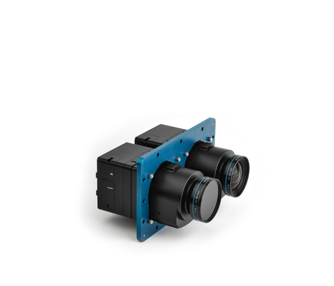
Full frame oblique camera with long Focal Length
• SHARE 202S
• SHARE 202S Pro
Key Features:
- Full Frame Camera
- High Precision for various surveys and areas
- Compatible with multi-rotor, fixed-wing and VTOL
- Easy operation and efficient workflow
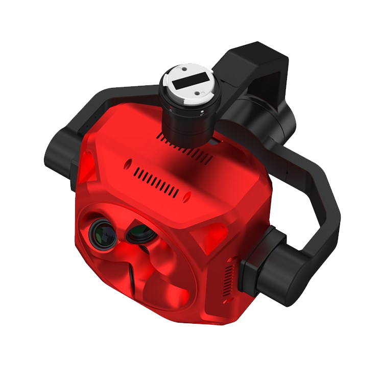
State-of-the-art 5-lens oblique camera that sets new standards in photogrammetry, with no ground control points. Provides high precision, real-time transmission, high quality photos for 3D modeling.
Share UAV 304S: Elevating aerial photography with a full-frame sensor boasting 305 million pixels for unrivaled image quality and rich detail. Ideal for large-area, high-drop city-level projects with safer flight heights and efficient data acquisition. Reduces project time and data processing, enhancing productivity.
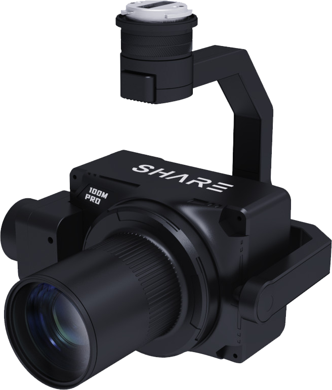
The 100M Pro Payload Camera by Share UAV is a highly accurate and effective solution for 3D Surveying. Specifically designed to eliminate the need of GCPs during surveying and mapping, the drone camera can increase coverage by 120% compared to traditional orthographic cameras and seamlessly integrates to DJI Matrice 300 and fixed-wing platforms.
Self-developed S-OPG mapping image control system enable users to freely adjust camera parameters according to different weather and light, extending the working time to 9 hours The camera is embedded with five 25.16 megapixel image control sensors, showing excellent performance from pixel integration to image quality.
The camera, featuring a 61 MP imaging module developed by SHARE (totaling 305 MP) and the advanced Sony IMX455 full-frame sensor, delivers high-performance aerial survey capabilities. Its high-resolution sensor enables broader image coverage, allowing larger areas to be captured in fewer flights. This significantly enhances survey efficiency and overall productivity.
The SHARE 505S PRO features five self-developed medium-format imaging modules integrated with the powerful Sony IMX461 sensor, delivering high-resolution aerial imagery even at elevated altitudes. With a 50mm nadir and 70mm side-view focal length, the system balances altitude and image clarity, making it ideal for urban environments with dense high-rises. Its medium-format capabilities enable a single nadir image to cover 0.25 km² at 5cm ground resolution, reaching a total coverage of 1.25 km² per flight using all five lenses.
The SHARE T2 enhances aerial imaging with its Oblique Mode, allowing the camera to capture from various angles for more detailed and accurate 3D modeling. It features a 5° oblique angle in orthomosaic mapping missions, providing 35% side overlap between flight routes to boost efficiency. The adjustable gimbal offers a wide pitch range of -120° to +45° and yaw range of -160° to +160°, enabling precise facade imaging of complex structures and greater flexibility to meet diverse industry needs.
The camera showcases exceptional lightweight design, weighing as little as 280g thanks to a one-piece aircraft-grade aluminum alloy body and SHARE's proprietary imaging module. Despite its compact form, it features the high-performance Sony IMX455 full-frame 61MP sensor with 3.76μm pixels, advancing drone surveying capabilities. Its professional-grade lens system includes multiple LD (low-dispersion) elements and nano-coatings to minimize reflections and enhance image clarity. Additionally, the Kimoto-made between-lens shutter offers minimal friction, up to 500,000 actuations, and significantly reduces the jelly effect during high-speed captures.
The Share 2600 SDK is a next-generation aerial mapping solution, integrating a high-performance three-axis gimbal with advanced stabilization and precision control for superior aerial survey results. Designed for seamless integration into mapping workflows, this system represents a new benchmark in drone-based photogrammetry, offering both stability and accuracy for a wide range of surveying missions.
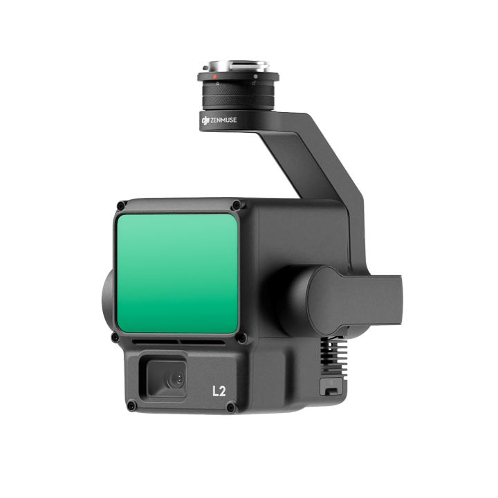
Zenmuse L2
is a high-precision aerial LiDAR system that empowers drones with more accurate
and efficient 3D data collection. With 4cm vertical accuracy, 5cm horizontal
accuracy, and the ability to cover an area of 2.5 km² during a single flight,
this IP54 rated system allows users to effortlessly handle a wide range of
operational scenarios